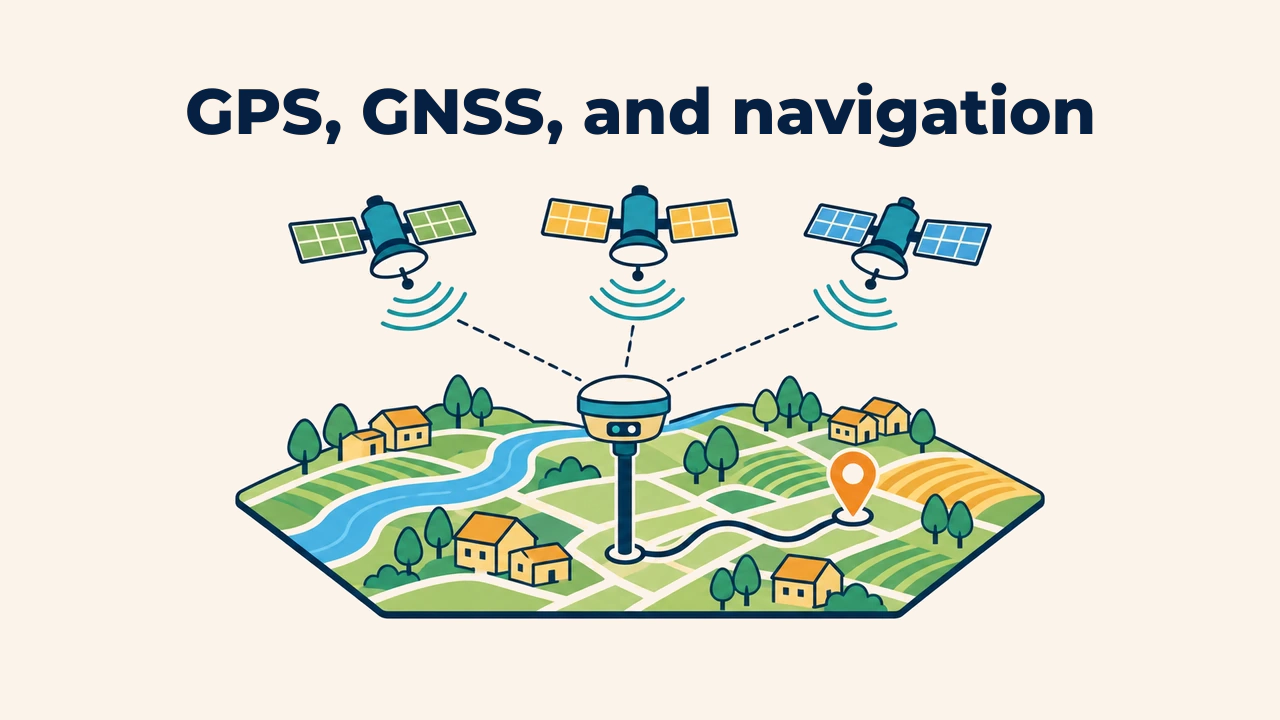
← ArcMap — Landsat 8 lessons Lesson 3. Downloading satellite images · UZVideo in Uzbek The video is hosted on YouTube. Open on YouTube ↗ ← Previous lesson 2. Registering on EarthExplorer Next lesson → 4. Working with true color and false color You may also likeArticle · Geographic Information SystemsGPS, GNSS, and navigation▶Video lesson · ArcGIS Pro lessonsLesson 7. Making a map of Samarkand region