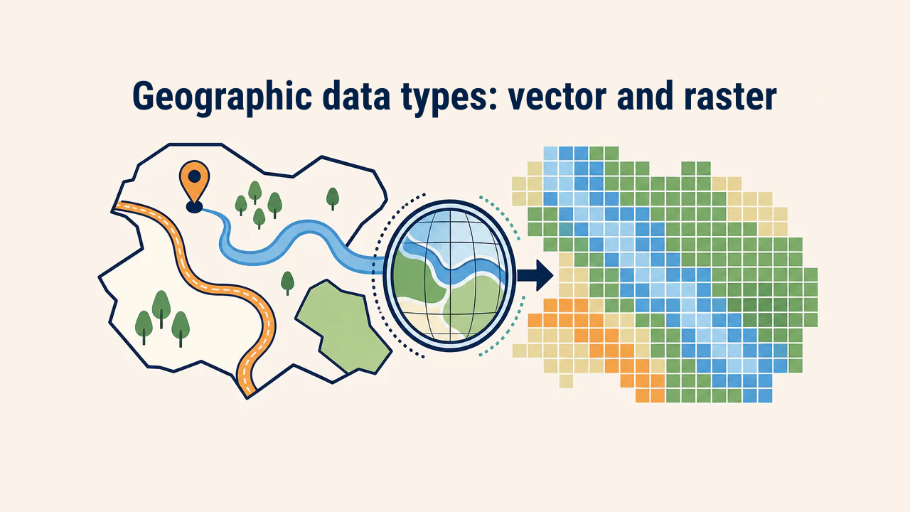
GPS, GNSS, and navigation
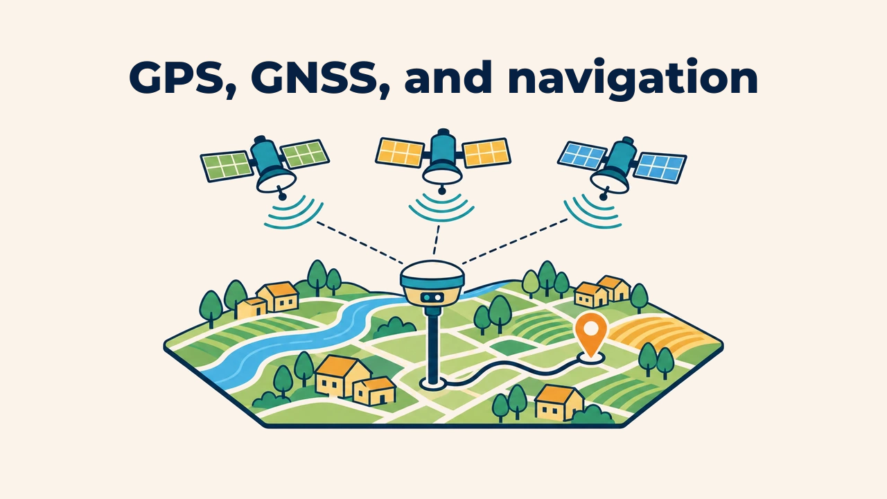
Introduction
Global Navigation Satellite System (GNSS) is an overarching constellation network determining receiver positions using precise timing signals transmitted from satellites. GPS is one constellation within GNSS, though everyday language often uses GPS generically to refer to all satellite navigation.
In GIS, GNSS records field survey points, locates infrastructure, and ties map features to real ground locations. However, raw device coordinates are never absolute ground truth: positional accuracy, coordinate reference systems, and collection conditions must be validated.
Difference between GPS and GNSS
GPS is an American satellite constellation. GNSS is the comprehensive term encompassing all global and regional satellite positioning systems. A multi-constellation receiver tracks more satellites across the sky, maintaining stable locks near dense buildings or steep terrain.
| System | Operator | Coverage |
|---|---|---|
| GPS | United States | Global |
| GLONASS | Russia | Global |
| Galileo | European Union | Global |
| BeiDou | China | Global |
| QZSS, NavIC | Japan, India | Regional |
According to GPS.gov, these systems complement each other; modern smartphones and field receivers track signals from multiple constellations simultaneously.
How location is determined
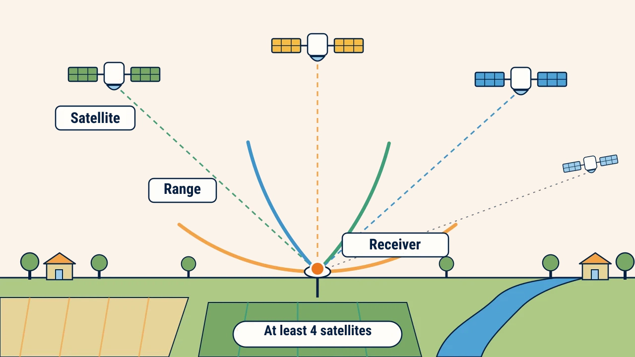
A receiver measures the time radio signals take to arrive from satellites, calculating distance to each. Intersecting multiple distance ranges solves the receiver's position through trilateration. Solving latitude, longitude, elevation, and receiver clock bias requires at least four visible satellites. Radio waves travel at the speed of light, so a clock error of one microsecond translates to roughly 300 meters of positional drift.
Factors affecting accuracy
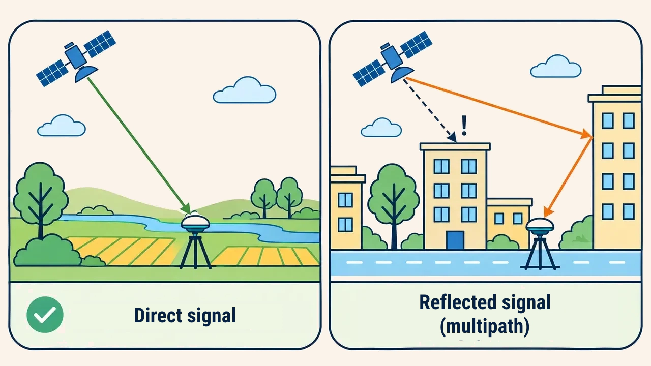
Open skies, well-distributed satellite geometry, and direct line-of-sight yield clean results. Tall walls, tree canopies, or urban canyons block signals. When waves bounce off building facades or water bodies before reaching the antenna, multipath interference occurs, falsely extending measured ranges.
According to GPS.gov, consumer smartphones achieve approximately 4.9-meter radius accuracy under open skies, with errors growing near buildings and trees. High-grade survey receivers employing differential correction and RTK positioning achieve centimeter-level precision.
Therefore, target accuracy must be decided before fieldwork starts. Mobile phones suffice for routing and general asset mapping, whereas boundary surveys and engineering require external antennas, differential corrections, and benchmark ties.
Coordinates and attributes
Alongside coordinates, metadata must record the CRS, observation timestamp, receiver model, estimated error, and surveyor ID. Devices output latitude and longitude in WGS 84 (EPSG:4326) coordinates; calculating distances or areas in GIS requires projecting data into appropriate local coordinate systems.
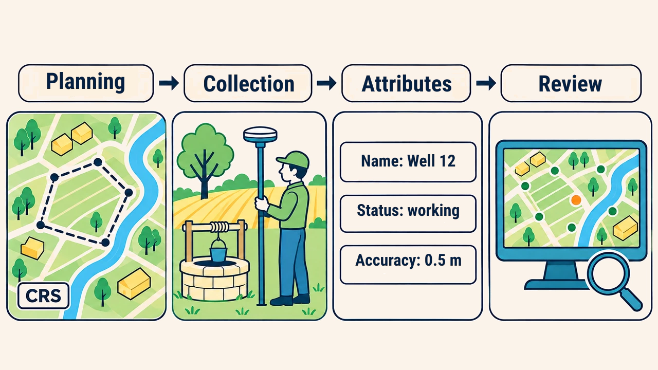
After logging a point, validating its surrounding context and attributes on the map is essential. For instance, an irrigation inventory links each well point to its identifier, condition, flow rate, and photo. This ensures spatial layers carry rich operational context beyond mere coordinate pairs.
Navigation workflow
Before deploying teams, establish project CRS, accuracy tolerances, and feature codes. In the field, keep antennas clear of obstructions and record positions only after accuracy indicators stabilize. For critical infrastructure, record duplicate occupations or check against known benchmarks.
Back in the office, import points into GIS to screen for duplicates, classification mistakes, and spatial outliers. Compare repeat survey discrepancies against accuracy specifications. Always record accuracy limitations explicitly in layer metadata.
Conclusion
GPS is one key system within GNSS; modern receivers leverage multi-constellation tracking for resilient positioning. Reliability depends heavily on clear signal reception, receiver grading, proper CRS handling, and complete documentation.
Treating GNSS not as a casual tracker but as a rigorous measurement methodology preserves high data quality across GIS databases.