Mobile GIS and field data collection
Introduction
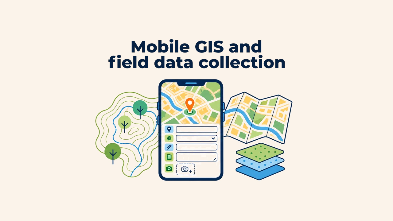
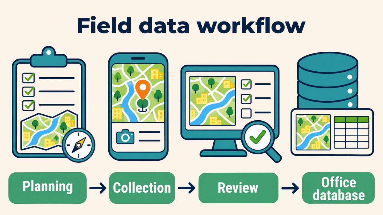
Mobile GIS refers to collecting, editing, and verifying map data, coordinates, and attributes on smartphones, tablets, or rugged field devices. It bridges the gap between paper survey notes and manual digitizing: geographic features are mapped on-site while attributes are recorded simultaneously.
Mobile apps deliver speed, yet unstructured data entry produces inconsistent layers. Before fieldwork begins, project teams must establish layer schemas, feature codes, accuracy standards, and verification rules.
Designing the data collection form
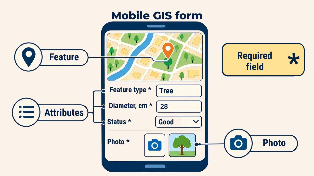
Each digital form should serve a single feature type and specific analytical inquiry. Tree inventories require species, trunk diameter, vitality status, and photos; road surveys focus on pavement type, defect category, and inspection date. Mandatory fields, controlled dropdown picklists, and defined numerical ranges eliminate operator errors directly in the field.
Free-text entry should be restricted to notes. Inconsistent entries for identical conditions (such as "good", "Good", and "normal") disrupt automated queries. Assigning unique identifiers to every feature simplifies ongoing monitoring, inspection tracking, and updates.
Form fields must match the central database schema: field names, data types, and units must align, such as "diameter_cm". A conditional field appears only when triggered by relevant criteria: marking a tree as "dead" prompts a removal assessment, which otherwise remains hidden. Auto-populating timestamps and surveyor accounts reduces repetitive data entry mistakes.
Positioning and accuracy
Built-in smartphone GNSS is convenient for navigation and general mapping, yet accuracy varies with sky visibility, canopy cover, nearby buildings, and hardware filters. If positional tolerances are not specified beforehand, different survey crews may use varying devices, causing uneven quality across the layer.
According to GPS.gov, consumer smartphones typically achieve 4.9-meter radius accuracy under open skies. External GNSS receivers connected via Bluetooth with differential corrections or RTK reach decimeter and centimeter accuracy, requiring base stations or correction streams.
Estimated accuracy displayed in mobile apps is a device self-assessment, not a guarantee. Therefore, estimated error metrics should be logged in dedicated attribute fields, enforcing threshold limits: for example, points exceeding 5 meters of estimated error must be re-occupied. Averaging readings reduces random noise, though it cannot eliminate multipath reflections near walls.
Teams must also select the appropriate geometry: a tree is recorded as a point, a road segment as a line, and a park parcel as a polygon. Visualizing geometry against background imagery flags wrong feature types or out-of-boundary entries immediately.
Field quality control
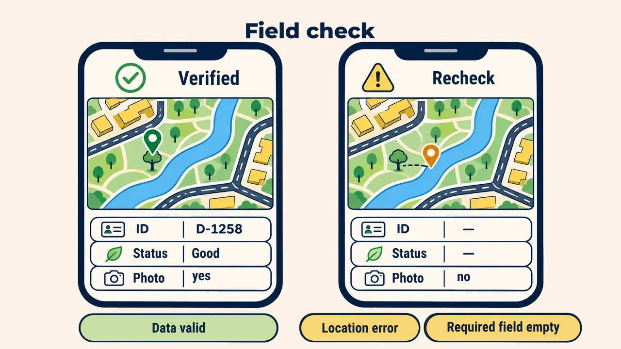
Before storing each entry, surveyors verify map alignment, attribute completeness, and logical consistency. For example, an inactive well should not allow entering positive pumping rates. For remote operations lacking cellular connectivity, basemaps and forms must be cached locally beforehand, with pre-established synchronization schedules.
In offline mode, edits reside in local memory, transmitting to central servers once connectivity resumes. When two workers edit identical records independently, version conflicts occur; clear conflict-resolution rules must dictate which edit takes precedence. High-resolution photos consume bandwidth quickly, requiring compression limits inside the form.
When surveying large jurisdictions, areas are partitioned among crews using consistent classification codes. At the end of each shift, supervisors review submission counts, empty attributes, duplicate points, and suspicious outliers. This immediate inspection allows teams to resolve discrepancies while still mobilized near target sites.
Practical example: tree inventory
Consider a municipal department conducting an urban street tree census. Office analysts build a point layer: species is selected from a standardized list, trunk diameter is measured at 1.3 meters with allowable range constraints, health condition is chosen from three grades, and photo capture is mandatory.
Streets are divided among field teams. During evening synchronization, the GIS flags points located within 1 meter of each other or exceeding positional accuracy tolerances. Such flags indicate duplicate entries or GNSS drift, scheduling them for immediate on-site verification the following day.
Office data handover
Before merging synchronized field records into the core database, layers undergo technical validation. Analysts verify coordinate reference systems, geometric validity, mandatory fields, and primary key integrity. Where required, incoming updates stage in separate review layers prior to final approval.
Preserving audit metadata—collection device, surveyor name, timestamp, and accuracy—is vital for downstream edits. When adjusting field points in the office, original survey values and change reasons must be preserved in version history logs. This maintains complete provenance and reproducible quality standards.
Conclusion
Mobile GIS streamlines field workflows, yet data quality depends entirely on form structure and rigorous verification protocols. Standardized attributes, fit-for-purpose accuracy, daily field audits, and office acceptance checks ensure reliable spatial layers. Mobile hardware is merely an instrument; reliable data stems from a well-engineered end-to-end workflow.