What is GIS programming?
Introduction
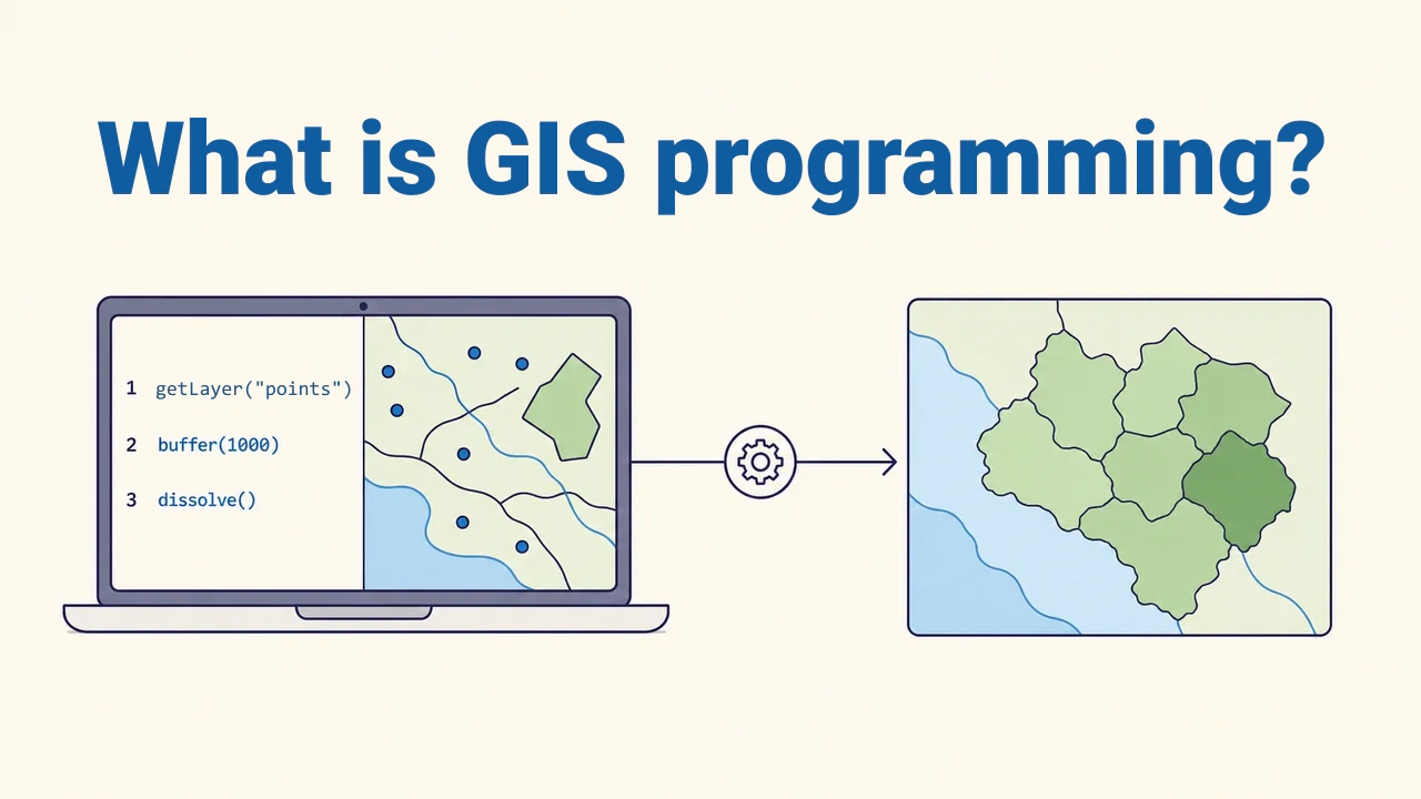
GIS programming is the process of reading, manipulating, analyzing, and sharing spatial data using code. Many tasks performed manually via interface buttons in desktop GIS become explicit command sequences in code.
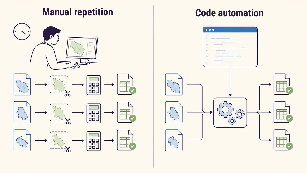
Writing code does not replace manual mapping. It automates repetitive work, expresses complex rules transparently, and allows running identical analyses on new data. Programming is especially valuable when handling large layer volumes, routine reports, and web services.
When is code needed?
For clipping a single layer once, graphical tools may be completely sufficient. However, if the same operation must be applied to a hundred district layers, weekly updated data recalculated, or maps generated based on user queries, code becomes the preferred approach. Commands are written correctly once and applied consistently across various inputs.
Automation is not just about saving time. A script records which file was read, which parameters were used, and where outputs were saved. This makes reproducing the workflow and debugging much easier. However, incorrect logic is repeated just as quickly, so automation never replaces quality control.
Core tools
GIS programming is not restricted to one language or software. Python is a widely used language for getting started. QGIS's Python interface is called PyQGIS; in its documentation, several workflows are outlined: Python consoles, standalone scripts, processing algorithms, plugins, and custom applications. Developers can advance from simple commands to full applications within a single ecosystem.
GeoPandas helps manage geometries and attributes together in tabular form. GDAL (Geospatial Data Abstraction Library) is a core library for reading, writing, and transforming raster and vector formats. SQL and spatial databases serve to manage large, shared datasets on servers.
Spatial workflow
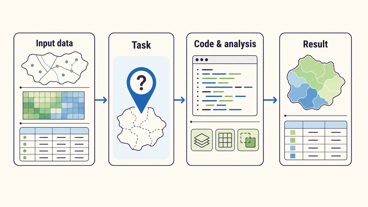
Effective code begins with a clear question. For example: "Which neighborhoods are farthest from health clinics along the road network?" Next, input layers, attribute fields, coordinate reference systems (CRS), distance units, and expected deliverables are defined. Only then are reading, cleaning, analysis, and export steps written.
Testing each step independently helps isolate errors faster. Preserving input data unchanged, saving derived files to separate folders, and grouping parameters at the top of the script are useful habits. Results can be saved alongside maps as tables or process logs.
Practical example
Suppose we need to find the nearest emergency medical station for every school in a province. The script reads school and station layers, validates their coordinate reference systems, reprojects them if necessary, and calculates the relevant distance for each school. Outputs record the station identifier, distance, and verification status.
Here, the concept of "nearest" must be defined precisely. Straight-line distance does not equal travel distance along a road network. Even if code runs without syntax errors, choosing the wrong method produces data unsuitable for decisions. Programmers must understand spatial principles and data semantics as well as code.
Verifying results
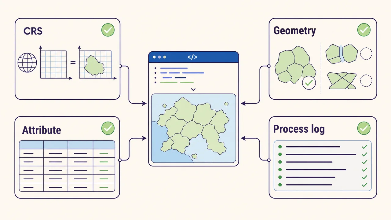
A script finishing without errors does not mean the output is correct. File presence, geometry validity, null attributes, CRS, measurement units, and feature counts should undergo automated checks. Unexpected changes in record counts are logged as warnings.
A sample of known features should be verified manually and compared against program output. Results must also be inspected on a map, as spatial displacements or incorrect intersections hidden in a table become immediately obvious cartographically. Documenting code versions, library environments, input data, and parameters ensures the analysis can be reproduced reliably.
Getting started
The learning path begins with core Python basics: variables, conditions, loops, functions, and file handling. Next, points, lines, polygons, rasters, attributes, and coordinate reference systems are applied through code. Initial projects should remain small and verifiable: reading a layer, filtering by condition, calculating area, and saving to a new file is sufficient.
Understanding the inputs, outputs, and limitations of each step is more important than copying ready-made snippets. Once a small script runs reliably, it can be developed into a reusable function, command-line tool, QGIS plugin, or web service.
Conclusion
GIS programming turns spatial questions into reproducible and verifiable code-driven workflows. Its value lies not only in speed, but in transparent documentation of parameters, operations, and results.
A reliable solution combines programming skills with an understanding of coordinate reference systems, geometry, data quality, and analytical methods.