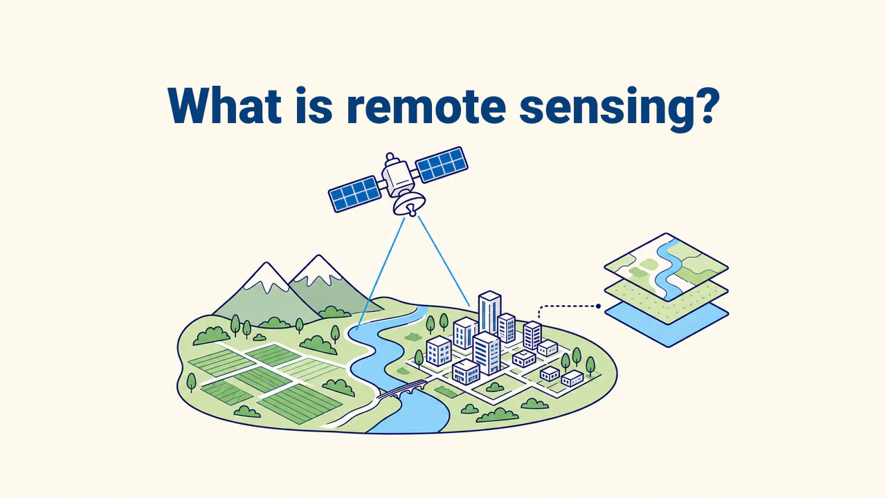
Topology and geometry errors
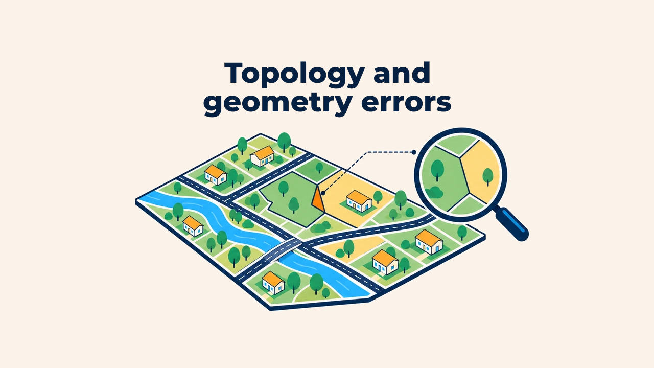
Introduction
Topology is a set of rules defining how spatial features touch, connect, intersect, or remain separate. While geometry describes the coordinates and shape of an individual feature, topology evaluates its logical relationships with adjacent features.
In parcel boundaries, road networks, or water bodies, tiny graphic flaws can distort area calculations, neighborhood queries, and service areas. Therefore, geometry and topology checks must occur before spatial data is used, rather than after editing concludes.
Difference between geometry and topology
Geometry represents the vertices, coordinate pairs, and shape of a point, line, or polygon. For instance, a polygon contour must close, and a line requires at least two points. A self-intersecting polygon or a feature with empty coordinates is invalid geometry. Geometric validity rules are defined by the OGC Simple Feature Access standard, which QGIS and PostGIS use for validation.
Topological rules govern relationships among multiple features. Cadastral parcels use "must not overlap," administrative units require "must cover area without gaps," and roads demand "must connect at shared nodes." The appropriate rules depend on layer purpose; one rule set does not suit every layer.
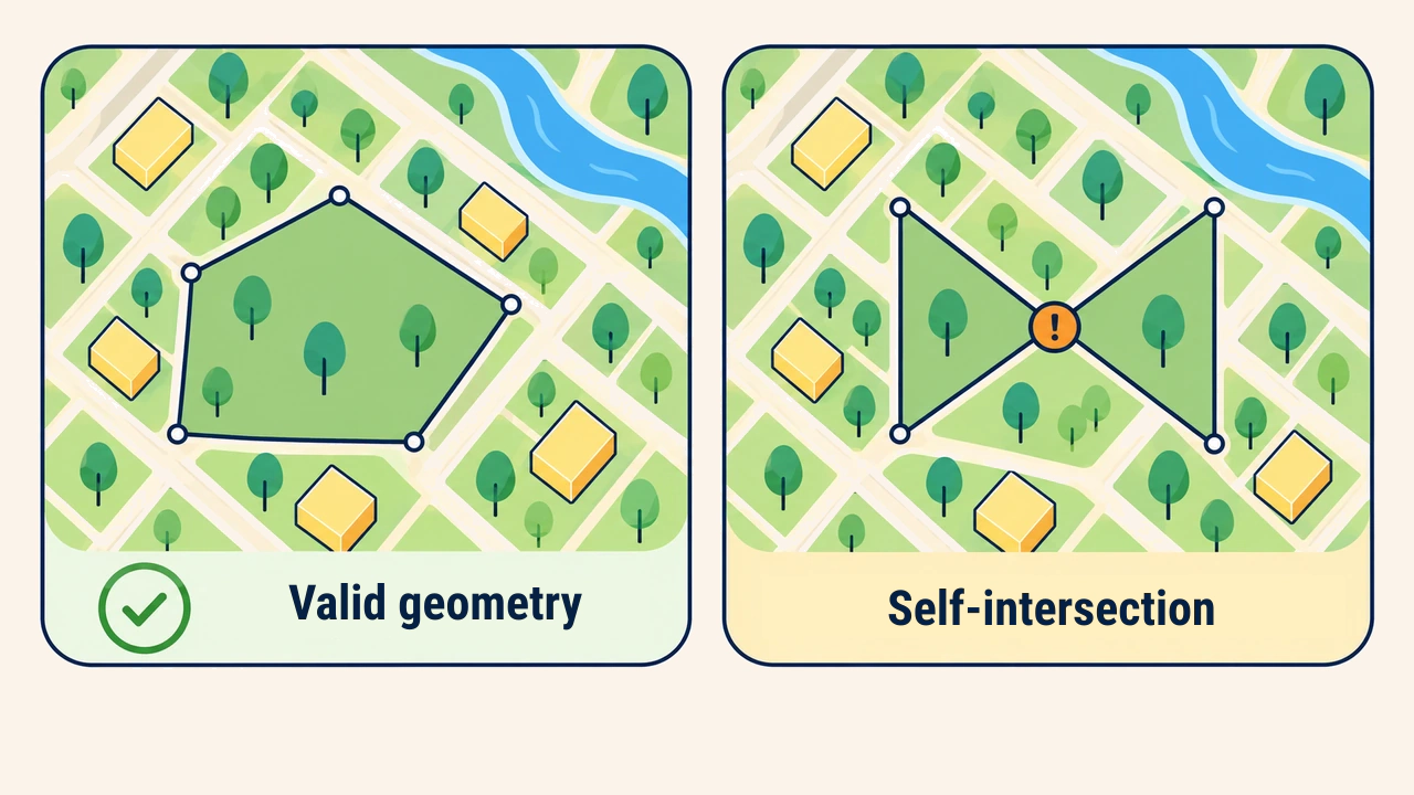
Common errors
In polygon layers, common defects include gaps, overlaps, and boundaries extending beyond designated areas. A narrow gap between two land parcels creates unowned land in the database. Conversely, an overlap counts the same land twice during aggregation.
In line layers, key issues include undershoots, overshoots, and unsegmented intersections. Even if two road segments appear connected on screen, network analysis cannot calculate routing if endpoints lack identical junction coordinates. In point layers, analysts inspect duplicate coordinates and points recorded outside valid operational boundaries.
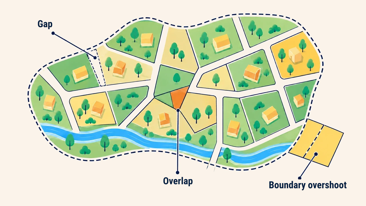
How errors affect analysis results
Topological errors are not merely cartographic flaws. When calculating land balances, overlapping areas get counted twice, while gaps artificially reduce total acreage. Such flaws distort tax assessments, buffer calculations, and neighbor notifications.
Before analysis, teams define the required positional tolerance. On regional overview maps, a millimeter gap is negligible, but in parcel boundaries, it leads to legal and financial disputes. Forcing mismatched layers together without verification frequently introduces fresh topological errors.
Validation and correction
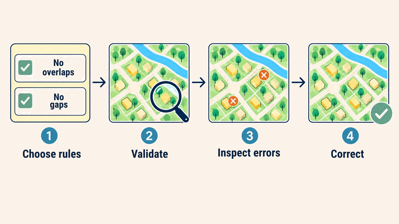
First, analysts establish explicit rules: must polygons cover the space, avoid overlaps, connect at line nodes, or permit slivers? Next, the GIS topology checker evaluates the layer and generates error markers on the map. Automated checkers identify defects, yet human review against primary imagery or field surveys remains essential before executing cleanups.
During correction, the snapping tolerance—the maximum distance within which vertices or endpoints pull together into a shared coordinate—must match map scale and accuracy. An excessive snapping tolerance pulls unrelated features together improperly, whereas an inadequate tolerance fails to close gaps. Documenting source edits and validation reports ensures subsequent updates remain reproducible.
Practical workflow
When assembling a municipal parcel layer, teams first verify that all polygon rings are closed and valid. Next, they enforce "must not overlap" and "must not have gaps" rules. Where error markers appear, operators inspect orthophotos, ground surveys, or approved cadastre records to determine true boundaries.
Merely masking an error flag is insufficient; teams must identify the root cause. Errors often stem from manual digitizing slips, mixing different coordinate systems, or conflicting source versions. Leaving root causes unresolved guarantees errors return during future imports.
Conclusion
Topology enforces logical integrity between spatial features, while geometry validation confirms the mathematical correctness of each individual shape. Appropriate rules, carefully calibrated snapping tolerances, and ground-verified corrections ensure trustworthy GIS analysis. Early error detection prevents expensive analytical and administrative mistakes later in decision making.