Spatial data quality and metadata
Introduction
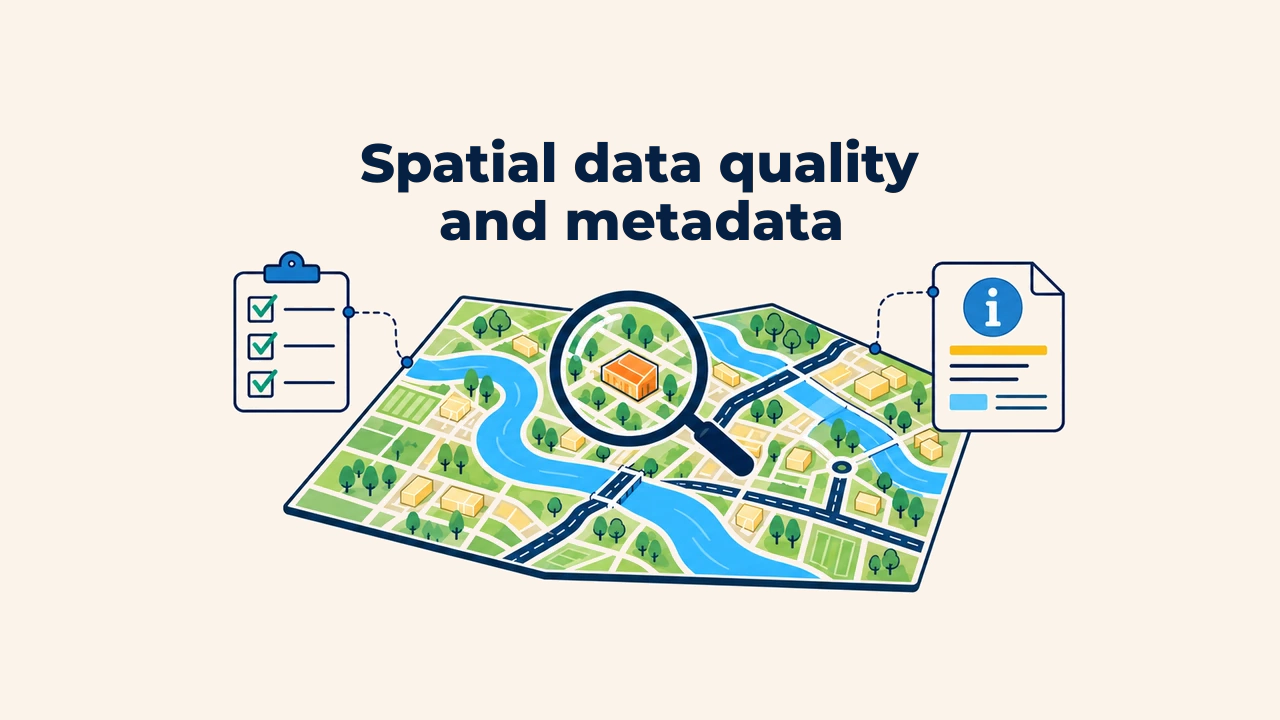
Spatial data quality is a measure of how reliably a dataset satisfies the requirements of an intended task. A layer can look visually impressive on screen, yet if coordinates are shifted, features missing, or attributes outdated, analytical outcomes will be flawed.
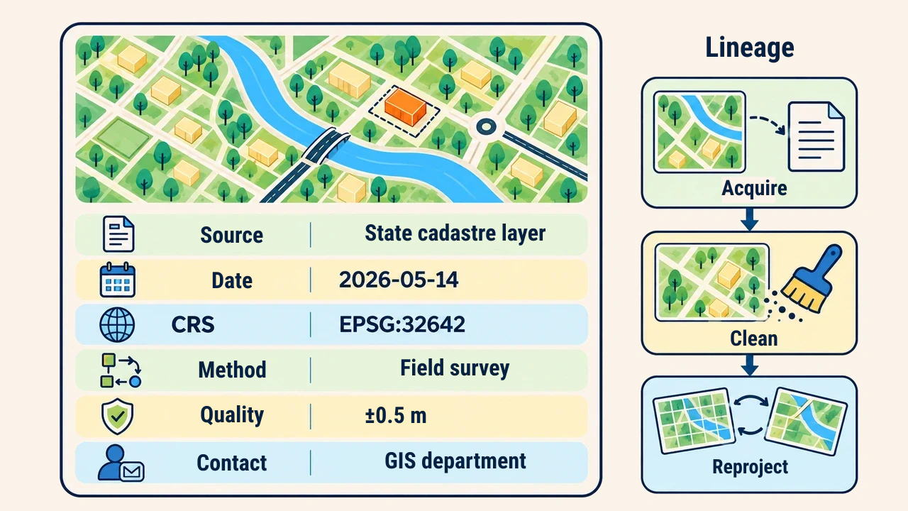
Metadata is documentation recording a dataset's content, lineage, creation date, coordinate reference system, methodology, constraints, and responsible custodians. While data quality is measured and validated, metadata articulates these metrics to make dataset provenance understandable to other users.
Quality depends on intended purpose
Quality is not an abstract label of "good" or "bad". Spatial data is evaluated based on its fitness for use. A boundary dataset suitable for regional statistics cannot support cadastral parcel demarcation requiring centimeter precision. Conversely, hyper-detailed geometries impose unnecessary file weight and rendering lag on simple web overviews.
Evaluation criteria must be documented beforehand: geographic footprint, vintage, working scale, permissible positional error, mandatory attributes, and update frequency. Without established thresholds, gauging whether an observed discrepancy compromises final decisions is impossible.
Dimensions of data quality
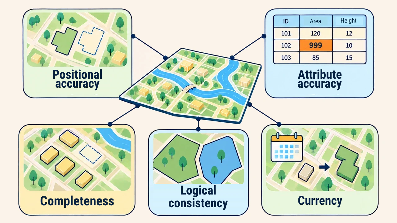
Positional accuracy measures how closely coordinate values reflect true ground positions, while attribute accuracy assesses the correctness of names, classifications, and numeric values. Completeness determines whether features were erroneously omitted or over-represented. Logical consistency evaluates compliance with topological rules, field schemas, and relational integrity.
Temporal currency identifies the real-world timeframe represented by data and when updates occurred. In rapidly expanding urban centers, a five-year-old building layer may be geometrically precise yet functionally obsolete. Testing methodologies and quality metrics are formalized under the international ISO 19157-1 standard.
Accuracy vs. precision
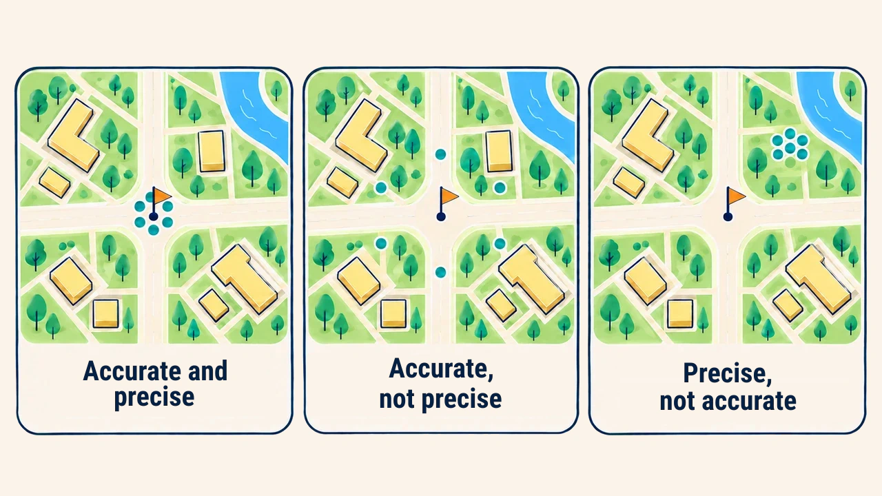
Accuracy reflects how closely a measurement approaches true or authoritative reference coordinates. Precision indicates the degree of mutual agreement among repeated measurements. Multiple survey points can cluster tightly together while lying far from the true benchmark: such readings are highly precise, yet fundamentally inaccurate.
Extensive decimal digits in coordinate tables do not guarantee high accuracy. Numerical precision cannot transcend field instrument limits, source map scales, or transformation errors. Technical reports should present verified ground errors and testing methodologies rather than coordinate text lengths.
Metadata architecture
Metadata offers descriptions far beyond file names. It documents operational purpose, bounding extents, data owners, collection and digitizing methodologies, vintage dates, CRS, scale, attribute definitions, quality reports, and legal constraints. The foundational global metadata standard is ISO 19115-1.
Lineage traces the lifecycle steps a dataset underwent: source acquisition, filtering, table joins, reprojection, and generalization. If only the final derivative is preserved, tracing when and why edits occurred becomes difficult.
Verification and reporting
Quality assurance combines automated validation with manual sample checks. Feature counts, null attributes, duplicate keys, schema violations, invalid geometries, and bounding extents are verified programmatically. Positional accuracy is validated by comparing sample coordinates against authoritative survey benchmarks.
Reports should avoid generic statements like "verified". Documentation records audit dates, inspection tools, sample sizes, discovered errors, corrective actions, and remaining limitations. Original source files are archived, revisions assigned version tags, and metadata updated concurrently with data edits.
Common pitfalls
Common errors include evaluating quality solely from visual map styling, guessing unknown coordinate systems, converting NULLs to zeros, and distributing data without timestamps. Merging disparate layers without verifying scale differences or classification schemas introduces hidden analytical inconsistencies.
Quality improvement does not demand manual edits across every feature. Prioritize errors that directly impact core decision requirements. Unresolved constraints should be documented transparently in metadata to prevent inappropriate dataset reuse.
Conclusion
Spatial data quality is governed by fitness for use, positional and attribute accuracy, completeness, logical consistency, and currency. Metadata serves as authoritative evidence of this evaluation, preserving source lineage and processing history. Predefined specifications, measurable verification, and open documentation form the foundation of defensible GIS decisions.