Google Earth Engine lessons
A video course on remote sensing and geospatial analysis in Google Earth Engine (GEE): from the Code Editor to shapefiles and rasters, SRTM, weather data, detecting vegetation and water bodies, and building a Web App. Videos are in Uzbek.
All lessons
9 lessons
Lesson 01
Introduction to Google Earth Engine

Lesson 02
Getting started with the Code Editor
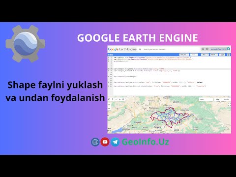
Lesson 03
Uploading and using a shapefile

Lesson 04
Working with Image (raster) files

Lesson 05
Working with SRTM and visualization

Lesson 06
Working with weather data

Lesson 07
Detecting vegetation and water bodies

Lesson 08
Building a Web App

Lesson 09
Building a Web App (part 1)
Related articles
Before watching the videos, read the theoretical background: