Choosing a basemap and licensing
Introduction
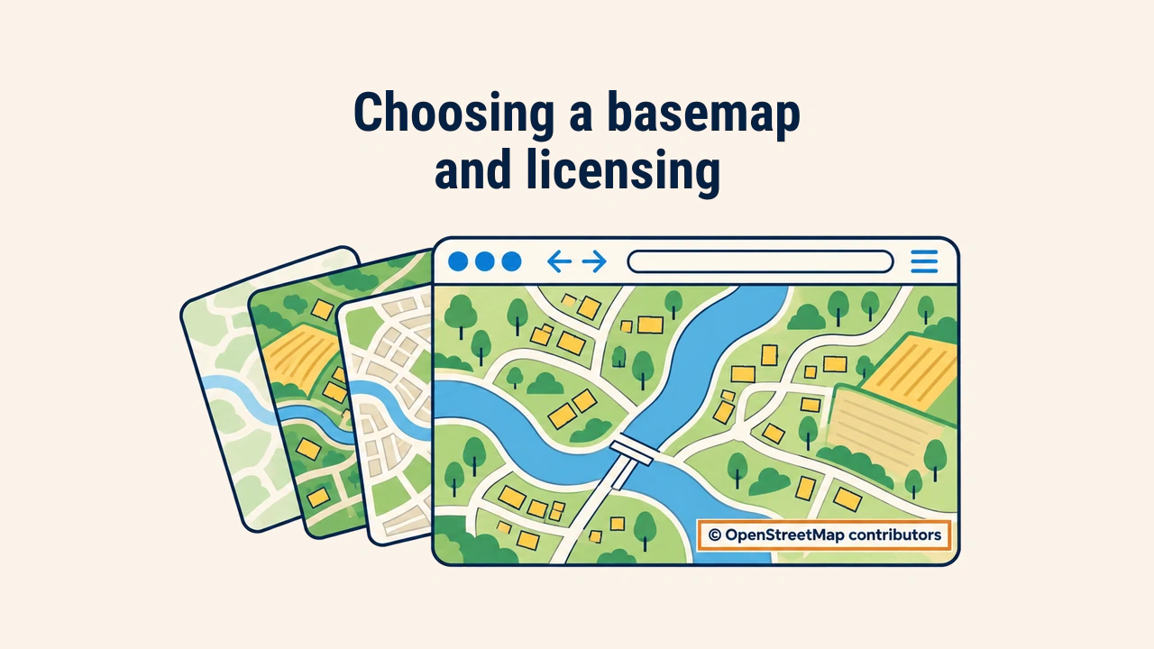
A basemap is the background layer on a web map that sits below thematic data and provides geographical context. It is typically loaded from an external tile server as pre-rendered raster or vector tiles.
The basemap shapes both map aesthetics and legal compliance. An ill-suited background overpowers primary data, while using tiles without proper attribution or in breach of terms can lead to service bans or copyright issues.
Basemap types
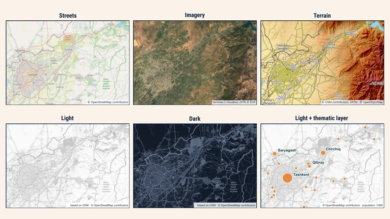
Depending on the task, several basemap types are used:
| Type | What it shows | Best suited for |
|---|---|---|
| Street map | Roads, buildings, labels | Addresses, routing, city services |
| Satellite imagery | Aerial surface imagery | Agriculture, construction, land cover |
| Terrain map | Contours and shaded relief | Mountains, outdoor recreation, hydrology |
| Light (neutral) | Muted outlines and labels | Thematic data, choropleth maps |
| Dark | Minimal outlines in dark tones | Night mode, vibrant overlays (heatmaps, flows) |
On a thematic map — such as district population density — a colorful street map competes with analytical colors. A muted, low-contrast neutral background lets thematic data stand out clearly.
Basemaps are delivered as raster or vector tiles. A raster basemap arrives as static images with fixed styling. In contrast, vector basemap colors, label languages, and layer visibility can be styled dynamically directly in the browser.
Selection criteria
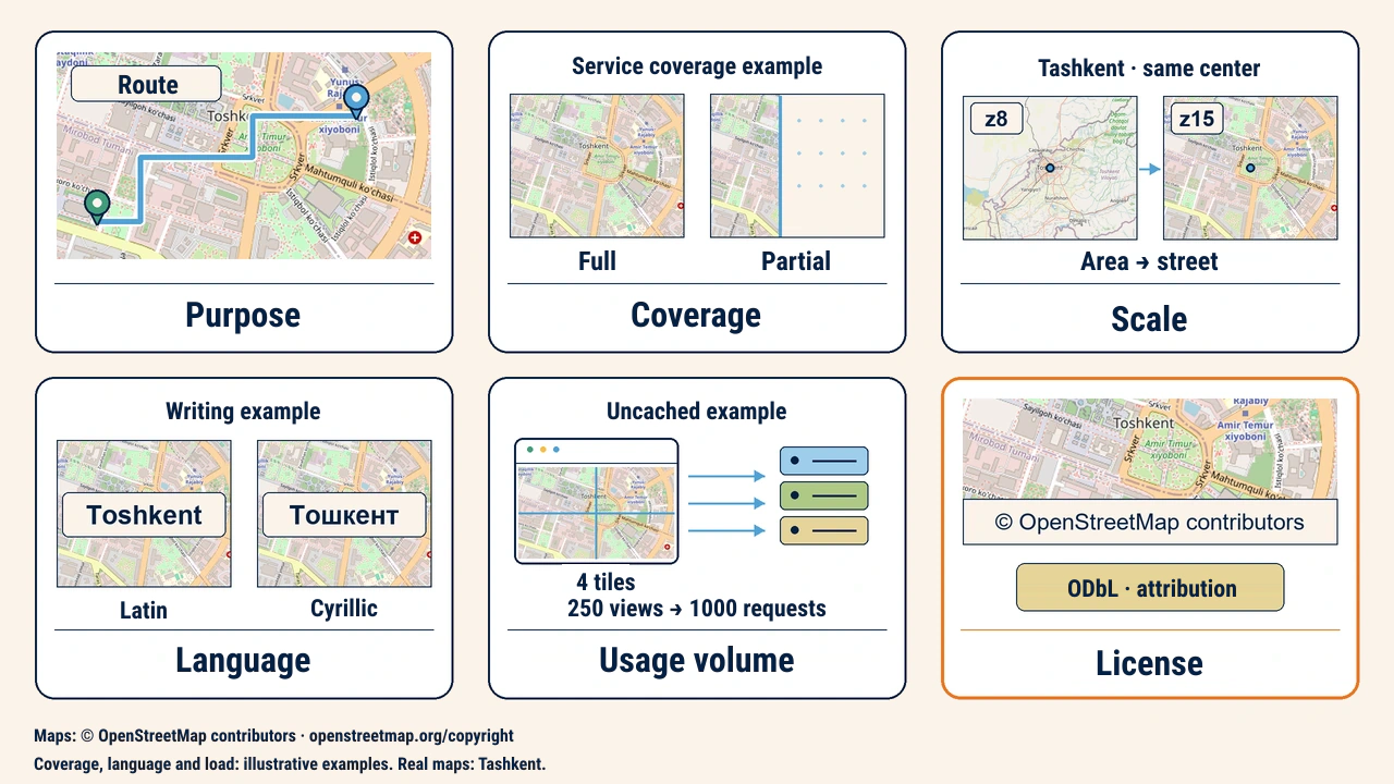
When choosing a basemap, developers consider several factors beyond visual styling:
- Geographic coverage — whether data is complete and current in the target region; in some districts of Uzbekistan, street names may be incomplete.
- Zoom levels — whether tiles exist down to the required scale.
- Language — whether labels use Latin, Cyrillic, or English script.
- Usage volume — daily tile requests and tier rate limits.
- Licensing and pricing — whether free commercial use is permitted.
Licensing and attribution
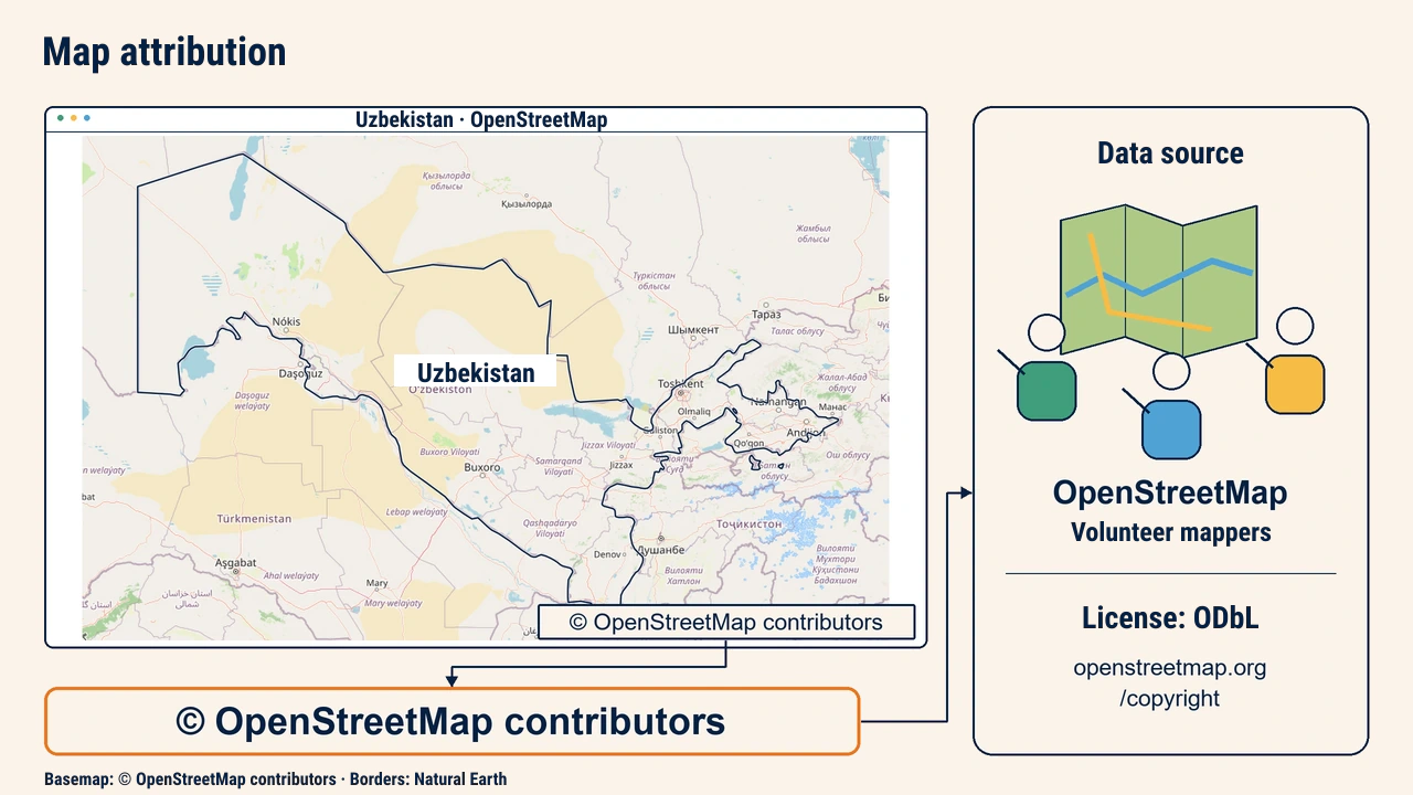
Every basemap relies on someone else's data and server infrastructure. Attribution is the requirement to credit data sources and authors on the map. It typically appears as a discreet label in the lower-right corner of the map.
OpenStreetMap data is distributed under the Open Database License (ODbL). According to the OpenStreetMap copyright page, maps must display "© OpenStreetMap contributors" and link to the license. In Leaflet, this is set with the attribution option:
L.tileLayer('https://tile.openstreetmap.org/{z}/{x}/{y}.png', {
maxZoom: 19,
attribution: '© <a href="https://www.openstreetmap.org/copyright">OpenStreetMap</a> contributors'
}).addTo(map);
Commercial services (satellite providers, commercial road maps) usually require API keys and distinct terms. Using their tiles outside authorized libraries or terms constitutes a license violation.
Tile usage policy
Data licensing differs from a tile server's usage policy. OpenStreetMap data is free to use, but the public tile.openstreetmap.org server runs on volunteer donations. Under the OSMF tile policy, heavy traffic, bulk downloading, and unattributed use are strictly forbidden.
Therefore, the standard OSM server is suitable for testing and small projects, while high-traffic production apps require a commercial tile provider or self-hosted tile server. Making this decision early avoids tedious restyling and zoom adjustments later.
Practical example
Suppose you are building a public web map showing district school capacity. Schools are marked with colored circles, so a neutral basemap is selected instead of a busy street map; street names remain visible so parents can locate facilities.
Because the site expects several hundred daily users, the team considers a commercial provider with a free tier or locally hosted tiles instead of OSM's public servers. Before launch, three items are verified: is the attribution visible, does it avoid obstructing content on mobile screens, and do provider terms allow public use.
Conclusion
A basemap provides visual context to make thematic data readable, selected to match project goals, coverage, and required zoom levels.
Legal compliance is an integral part of this choice: data licenses, attribution requirements, and tile server policies must all be verified before public deployment.