Spatial data formats
Introduction
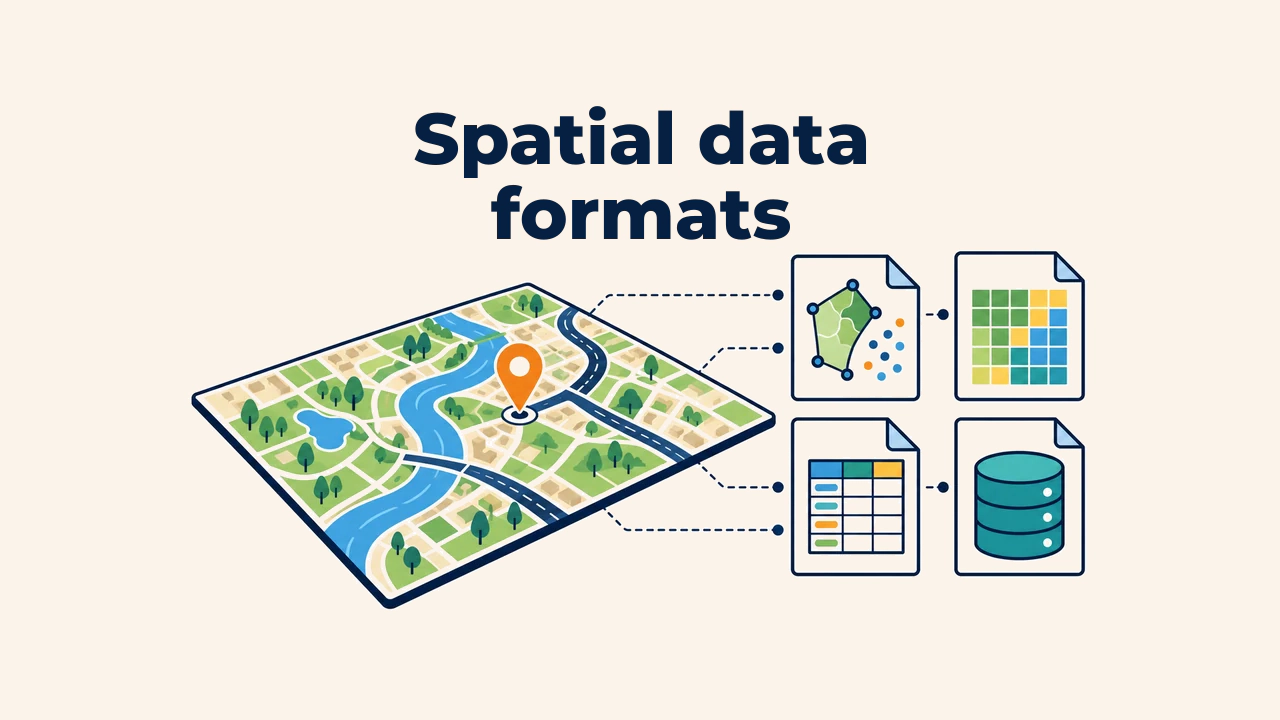
A spatial data format is a specification of rules for storing geometry, attributes, coordinate reference systems (CRS), and metadata within a digital file or database. A road layer can be saved in diverse formats, but file architecture, supported field types, and interchange convenience will differ markedly.
Format selection affects data preservation, editing speed, and platform transfer more than raw analytical accuracy. Merely knowing common format names is insufficient: specialists must understand internal storage models, operational strengths, and post-conversion verification steps.
What does a format store?
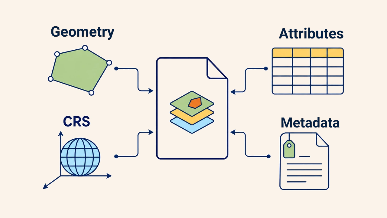
A spatial dataset requires at minimum geometry or pixel values, tabular attributes, and an explicit coordinate reference system. Some formats bundle all components into a single file, while others rely on companion sidecar files. Symbology styling, relational connections, and detailed metadata do not automatically travel with spatial layers.
A file extension merely denotes a container. It guarantees neither data completeness nor an accurate CRS. For example, two layers packaged as Shapefiles can carry completely different coordinate systems and incompatible attribute schemas.
Vector formats
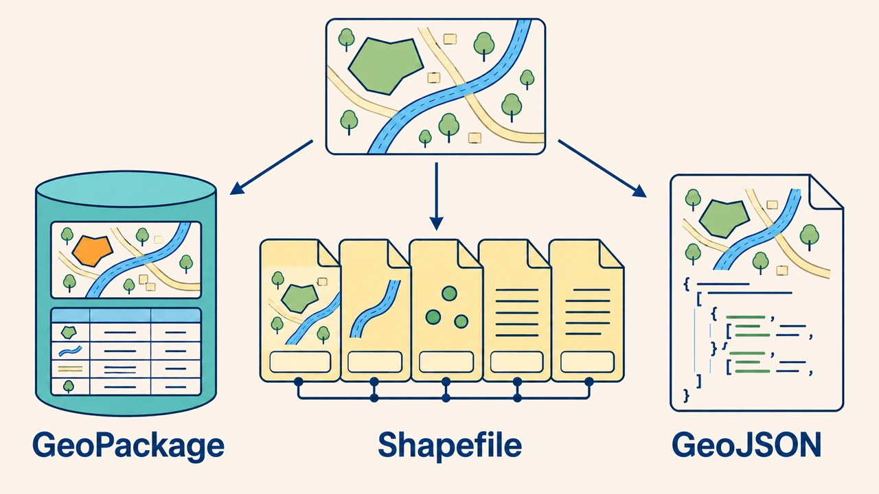
GeoPackage is an open OGC standard built upon an SQLite database engine. A .gpkg container houses multiple vector layers, standalone attribute tables, and rasters in a single portable file. It is the modern standard for organizing complex projects requiring long field names, varied data types, and multi-layer portability.
Shapefile is a legacy vector format widely recognized across software ecosystems. It consists of multiple sidecar files sharing a common basename (.shp, .shx, .dbf, .prj); losing any file breaks layer functionality. It carries strict constraints: field names cannot exceed 10 characters, file sizes are capped at 2 GB for .shp and .dbf, and text encoding can corrupt non-ASCII characters. It should not be the default choice for modern workflows.
GeoJSON is a human-readable text format based on JSON, optimized for web mapping and REST APIs. The RFC 7946 standard mandates that coordinates be recorded exclusively in WGS 84 longitude-latitude, forcing local projected layers to reproject on export. For massive datasets, text payloads grow bulky, and the format lacks support for indexing or multi-table schemas.
Raster and tabular formats
GeoTIFF stores raster cell values alongside georeferencing metadata tags that anchor the image to geographic coordinates on Earth. For satellite imagery, elevation rasters, and classified scenes, compression methods, cell sizes, NoData values, and CRS tags must be explicitly confirmed. Regular TIFF files look visually identical, but lack spatial referencing tags.
CSV is a lightweight tabular format. When it includes coordinate columns (X, Y) or geometry text formatted as Well-Known Text (WKT), GIS tools generate points or complex features. However, CSV does not formally enforce coordinate systems, data types, or null values; column delimiters, decimal separators, and character encodings must be agreed upon beforehand.
Format selection criteria
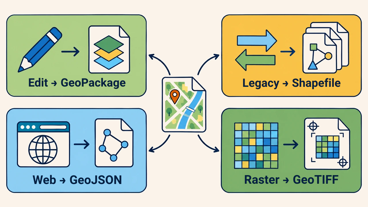
Selection begins with operational objectives. GeoPackage suits routine editing and multi-layer storage, Shapefile serves legacy system exchange, GeoJSON is ideal for lightweight web transmission, and GeoTIFF is the standard for georeferenced imagery. Destination software, payload size, attribute types, and archival lifespans dictate decisions.
Before choosing, consider: are field types preserved without truncation; is CRS embedded; is a single-file or multi-layer container required; will the file undergo continuous editing; will it stream across networks; does the receiving software support modern standards? Defaulting to legacy formats out of habit creates unneeded technical risk.
Conversion and quality assurance
Conversion is not simply changing a file extension; it rewrites data from one schema into another. During export, field headers can truncate, date fields may convert to strings, special characters can corrupt, and null values may be misinterpreted. When transferring Shapefiles, all companion files must be packaged together without renaming.
Always retain a source backup before converting. Validate feature counts, geometry types, spatial extents, coordinate systems, attribute fields, and null values against the original dataset. For rasters, check row-column dimensions, cell resolution, value ranges, and NoData flags. Visual map inspection alongside tabular sampling completes automated verification.
Conclusion
A spatial data format is not a passive shell, but an active architectural blueprint governing geometry, attributes, and coordinate fidelity. No single format is universally best: the right choice balances operational goals, software compatibility, payload volume, and preserved metadata. Rigorous quality control after conversion ensures format interchange never results in permanent data loss.