Types of image resolution
Introduction
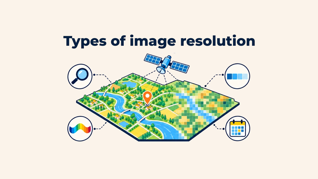
Resolution measures a remote sensing instrument's ability to discriminate spatial detail, spectral intervals, and physical changes across the Earth's surface. In everyday language, people often equate resolution solely with pixel size. However, Earth observation encompasses four distinct, interrelated resolution types: spatial, spectral, radiometric, and temporal.
Each type answers a specific question: what is the smallest visible ground feature, how many spectral bands are captured, how finely can radiance differences be quantized, and how often is an area reimaged? Selecting satellite datasets requires balancing all four types simultaneously.
Spatial resolution
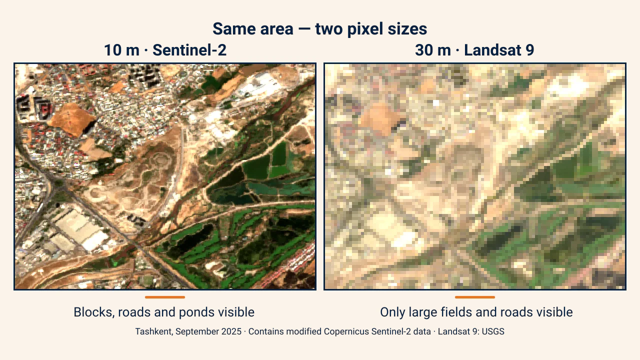
Spatial resolution defines the ground footprint represented by a single raster pixel. On Sentinel-2's visible and near-infrared bands, it measures 10 meters, meaning each pixel averages surface radiance across a 10×10 meter cell. According to ESA, of Sentinel-2's 13 bands, four operate at 10 m, six at 20 m, and three at 60 m resolution.
Smaller pixels distinguish finer features: 10 m rasters resolve city blocks, roads, and ponds, but individual houses or single trees remain indistinct. On 30 m imagery, only large agricultural fields and major highway corridors stand out. When ground features are smaller than the pixel dimension, their signal blurs into the surrounding background.
The image below compares the same district of Tashkent captured in September 2025 by two real satellite missions: Sentinel-2 (10 m) on the left and Landsat 9 (30 m) on the right.
Spectral resolution
Spectral resolution describes the number and bandwidth of spectral intervals recorded by a sensor. Standard cameras record three broad bands: blue, green, and red. Multispectral sensors capture 4 to 15 bands, while hyperspectral instruments measure hundreds of narrow bands.
Narrower and more numerous spectral bands allow analysts to reconstruct spectral signatures with high fidelity. For instance, Sentinel-2's red-edge bands are particularly effective for detecting vegetation stress. If bands are too broad, distinct surface materials produce identical averaged responses and become indistinguishable.
Radiometric resolution
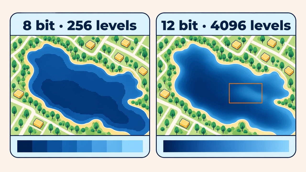
Radiometric resolution indicates a sensor's sensitivity to fine variations in incoming radiant energy within a single band, expressed in bits. An 8-bit image provides 256 discrete brightness levels, while a 12-bit raster provides 4,096 levels. According to the USGS, the OLI sensor aboard Landsat 9 features 14-bit radiometric quantization, resolving 16,384 distinct brightness levels per band.
Higher bit depths preserve subtle tonal nuances across dark water surfaces, deep terrain shadows, or bright snow fields. However, higher bit depths increase digital file storage requirements accordingly.
Temporal resolution
Temporal resolution refers to how frequently a satellite constellation revisits a specific geographic location. Landsat 9 revisits locations every 16 days, which drops to 8 days with Landsat 8. Sentinel-2 achieves a 5-day revisit cycle at the equator and 2–3 days at mid-latitudes.
For monitoring rapid phenomena—such as crop development or flood extents—temporal resolution is crucial. Cloud cover often reduces usable acquisitions below nominal schedules.
Trade-offs between resolution types
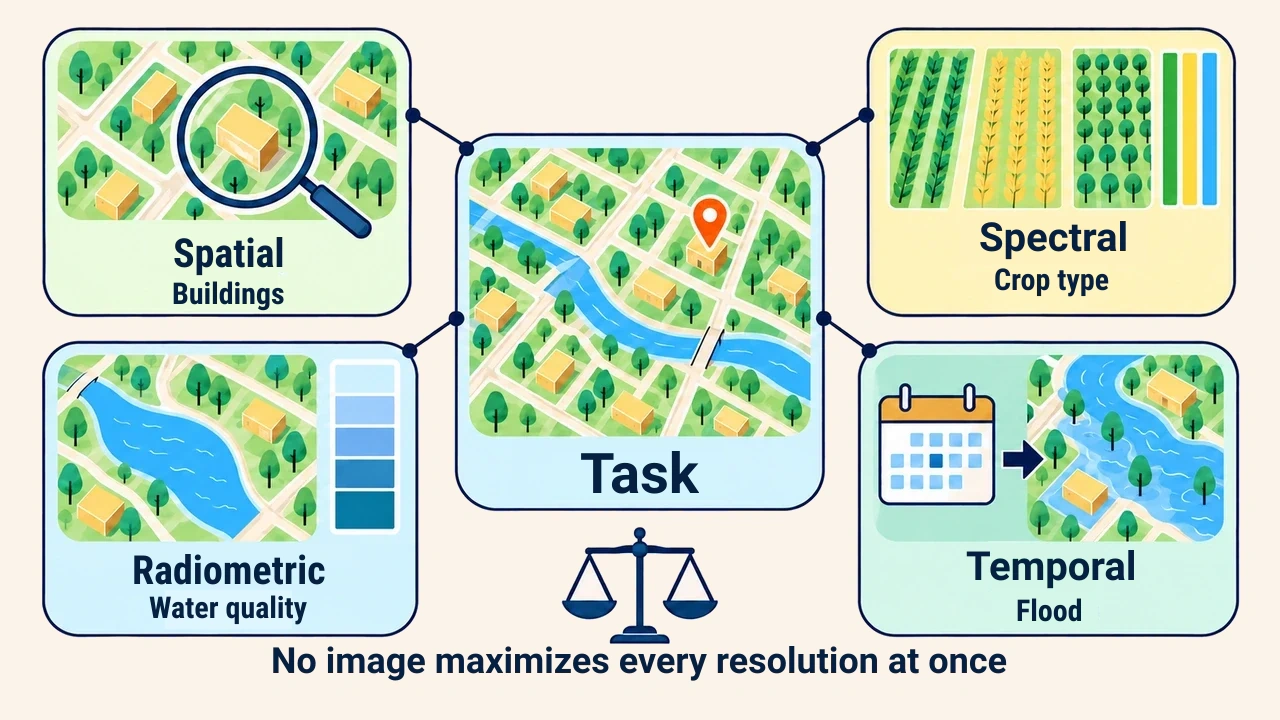
Sensors cannot maximize all four resolution types simultaneously. Finer pixels narrow ground swaths and lengthen revisit cycles; narrower spectral channels reduce photons hitting detectors. Consequently, sensors are tailored to specific mission objectives.
| Task | Primary resolution | Optimal imagery example |
|---|---|---|
| Urban building mapping | Spatial | High-resolution commercial imagery, orthophoto |
| Crop type classification | Spectral and temporal | Multi-temporal Sentinel-2 time series |
| Water quality, shadow features | Radiometric | Landsat 8/9 |
| Flood disaster monitoring | Temporal | Sentinel-1 SAR, Sentinel-2 |
For monitoring cotton fields in the Fergana Valley, 10 m pixels with 5-day revisit frequencies suffice, whereas street tree inventories require centimeter-grade drone surveys.
Conclusion
Image resolution is multidimensional: spatial resolution governs object size, spectral resolution enables material discrimination, radiometric resolution captures subtle contrast shifts, and temporal resolution captures environmental dynamics.
The best imagery is not simply the smallest pixel size, but the dataset whose combined resolution profile matches the analytical task.